Lost Branch of the Nile May Solve Long-Standing Mystery of Egypt’s Famed Pyramids
Thank you for reading this post, don't forget to subscribe!A former stretch of the Nile River, now buried beneath the Sahara Desert, may help scientists understand how Egyptians built the pyramids and adapted to a drying landscape

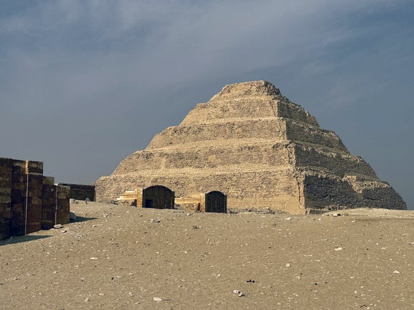
The Step Pyramid of Djoser, constructed during the third dynasty of Egypt.
Eman Ghoneim
Atop a rocky, arid plateau in the Sahara’s Western Desert in Egypt stands the last of the Seven Wonders of the Ancient World: the Great Pyramid of Giza. The 455-foot-tall stone structure and several smaller pyramids in the area have long provided research material for scientists working to decipher ancient Egyptians’ inscriptions to figure out how they constructed such massive monuments—and to understand why they built them so far from the Nile River, the lifeblood of their great civilization.
Geomorphologist Eman Ghoneim says she has pondered that last mystery for years. “I was born and lived most of my life in Egypt,” she says, “and one question that I remember asking myself since I was very young is: ‘Why did our ancestors build pyramids in this specific, odd place—and why so far from the water?’ I had this feeling like there was something more there.”

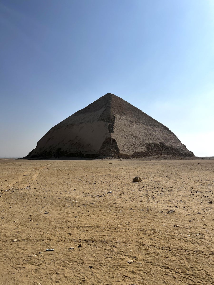
The Bent Pyramid at the necropolis of Dahshur. The pyramid was constructed during Egypt’s fourth dynasty.
Eman Ghoneim
On supporting science journalism
If you’re enjoying this article, consider supporting our award-winning journalism by subscribing. By purchasing a subscription you are helping to ensure the future of impactful stories about the discoveries and ideas shaping our world today.
Ghoneim, a professor at the University of North Carolina Wilmington, recently showed that at the time they were built, the pyramids were in fact much closer to water. (They stand more than five miles from the Nile’s closest bank today.) By analyzing batches of satellite images and sediment samples collected from deep beneath the desert’s surface, she and her research team located a long-lost ancient branch of the Nile that once ran through the foothills just beside the Giza pyramid field. It’s likely that this channel, which the study team named the Ahramat (“pyramid” in Arabic), is how builders transported materials to the pyramid construction grounds, Ghoneim says. Knowing its course can help archeologists search for potential sites of ancient human settlements that may be buried beneath vast, dusty plain. The researchers detailed their discovery in a study published on Thursday in Communications Earth & Environment.
Scientists have long suspected that the Nile—which runs northward for roughly 4,100 miles from Lake Victoria in Tanzania, Kenya and Uganda to the Mediterranean Sea—once had several offshoots. Past research indicates that during the middle of the Holocene epoch, about 10,000 to 6,000 years ago, the Nile floodplain was a lush, marshy habitat that narrowed and became largely barren after a long period of scant rainfall and increased aridity in the Late Holocene.

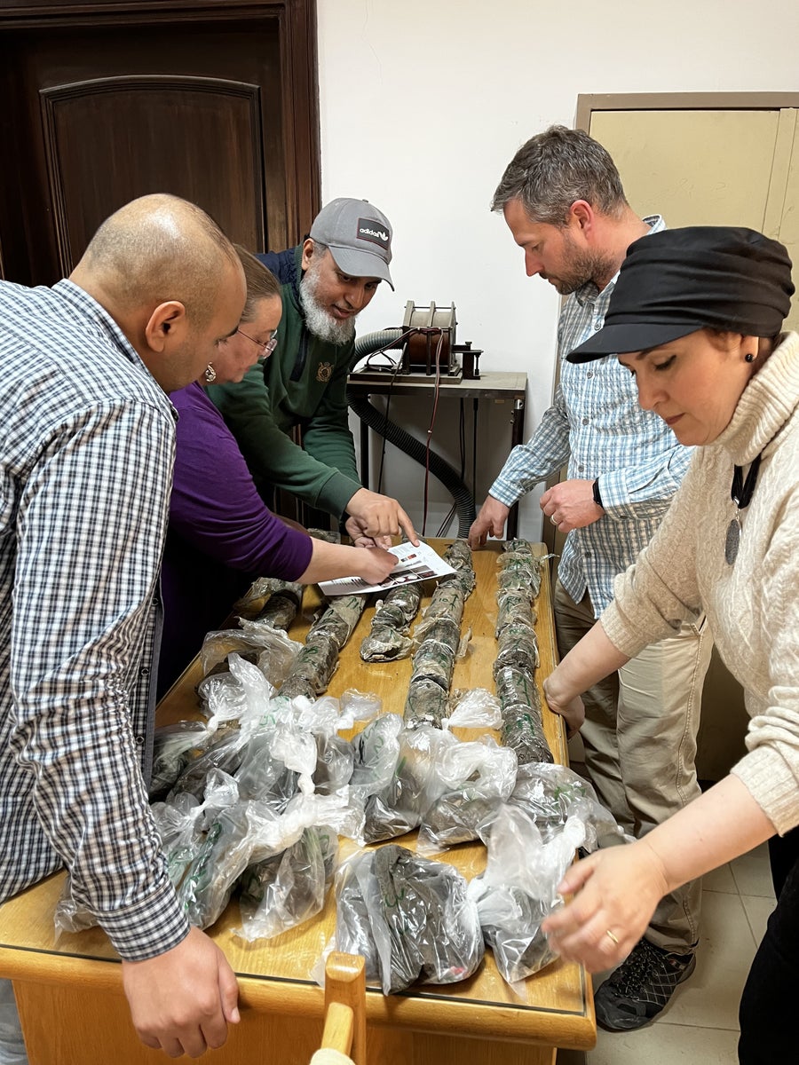
Eman Ghoneim’s research team organizes collected soil samples.
Eman Ghoneim
Today’s scorched, unforgiving Sahara is a tricky place to conduct the kind of fieldwork involved in searching for former river channels. Before braving the environment for a dig, the research team used radar satellites to peer beneath the top layer of earth and produce images of the subsurface. These revealed subtle patterns and textures in the ground’s layers near the pyramids—features that differed from other areas of the desert and hinted at the long-ago presence of running water. “We were looking at these meandering natural features closer to the [pyramid] field, like long depressions and troughs, now covered up entirely by farmlands and sand,” Ghoneim says. “It can be very hard to see if you don’t know what to look for.”
Ghoneim and her colleagues then traveled to Egypt, where they used large drills to excavate two “cores,” or cylinders of earth, extending dozens of miles below the surface. When the drill pulled up sand from deep below, Ghoneim knew the team had found remnants of a lost river. “There is, of course, sand on the surface,” she says. “But the presence of sand and other coarse sediments underneath the surface—instead of clay or silt—indicates that there was once running water in the area.”

The water course of the ancient Ahramat Branch borders a large number of pyramids dating from Egypt’s Old Kingdom to its Second Intermediate Period and spanning between its third and 13th dynasties.
Eman Ghoneim et al.
The researchers tracked the Ahramat’s former course for nearly 40 miles. Ghoneim says it may have run even longer, and more research could determine the channel’s general depth and width. It’s unclear why the waterway ran dry, but the team speculates that a combination of tectonic plate movements, windblown sand and the severe drought in the Late Holocene spelled its demise.
Dev Niyogi, a geology professor at the University of Texas at Austin, who was not involved in the new study, says understanding how ancient societies were shaped by their ever changing landscapes and waterways can help guide modern efforts to develop infrastructure wisely in an era of climate change. The ancient Nile branch also serves as a reminder that “resilient human societies are never rigid,” says Adam Rabinowitz, an archeologist and classics professor also at U.T. Austin, who is currently working on a project designed to ready Texans for dramatic, climate-driven changes to the state’s water availability over the next 25 years. “We have to explore how past societies responded to similar climate-related challenges … so that we can better understand the human experience of living through and adapting to a major environmental change.”
Ghoneim says she hopes to continue piecing together a map of the Nile’s former life by further studying the Ahramat and other river channels that may be lost beneath the desert. “For most cities, we’re not talking about how water helped the building of pyramids but rather how human civilizations otherwise depended on it and adapted to its changes,” she says. “And when we learn from the past, we can prepare for the future.”

